Intheair
Nous rendons l'imagerie aérienne accessible à toutes les entreprises.
Capter. Analyser. Recommander.
Intheair® est la start-up marseillaise qui rend accessible l'imagerie aérienne à toutes les entreprises en simplifiant l'accès à la captation de données, leur analyse immédiate suivies de recommandations personnalisées.
Plus concrètement, qu'est ce qu'on fait ?
Nos télépilotes se déplacent sur les zones à considérer puis les survolent à l'aide de drones dernière génération. Nos géomaticiens prennent ensuite le relais en analysant les données récupérées afin que finalement nos experts vous rendent un livrable contenant les analyses suivies de nos recommandations.
Nous intervenons dans la France entière (et très prochainement à l'international!!) pour vous proposer des prestations sur-mesure dans différents secteurs d'activité :
- Environnement et énergies vertes
- Agriculture de précision
- Immobilier et BTP
- Logistique et Shipping
- Evènementiel
En partenariat avec la BPI et la FrenchTech, Intheair s'impose sur le marché de la green tech, notamment grâce à la création d'algorithmes de pointe et d'applications innovantes.
Alors n'hésitez plus, prenez rendez-vous sur notre site !
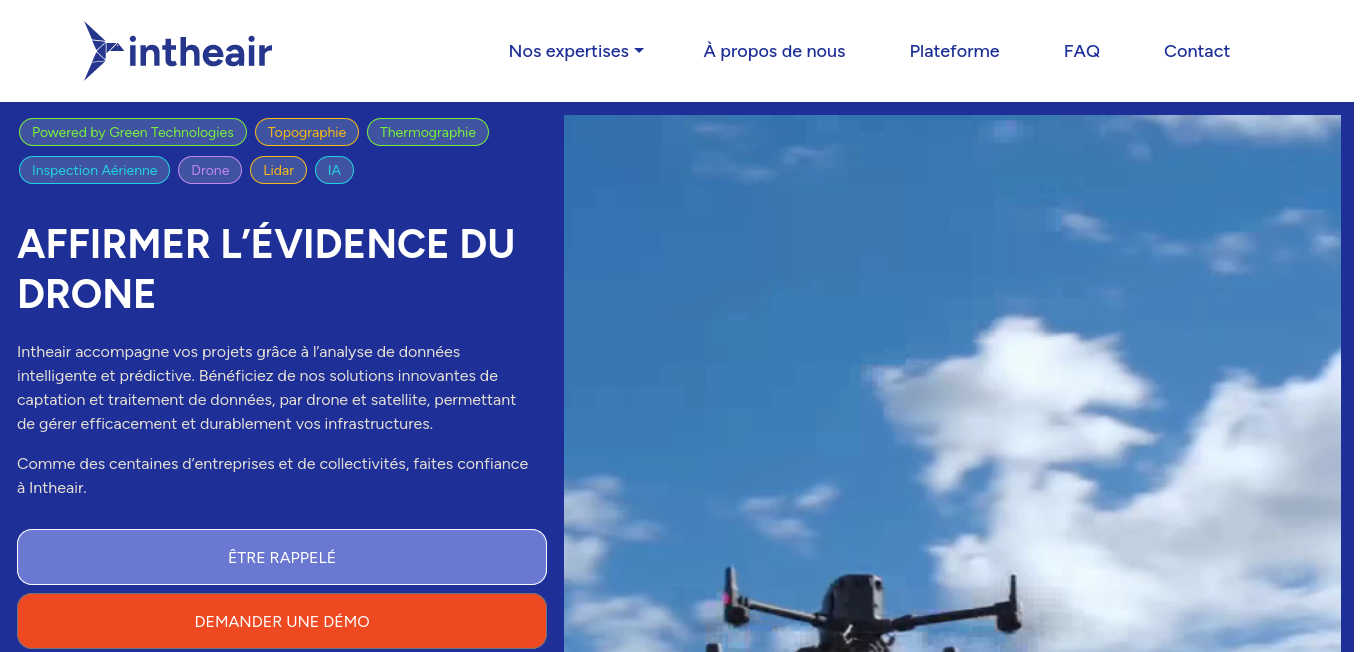
Intheair : prestations de cartographie, topographie, thermographie et inspection aérienne par drone
Révolutionnez vos projets avec l'imagerie aérienne et l'IA d'Intheair en optimisant la gestion de vos infrastructures pour des performances maximales et durables.